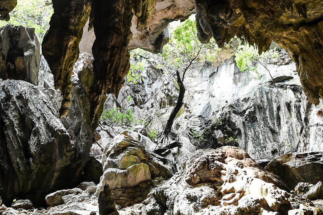
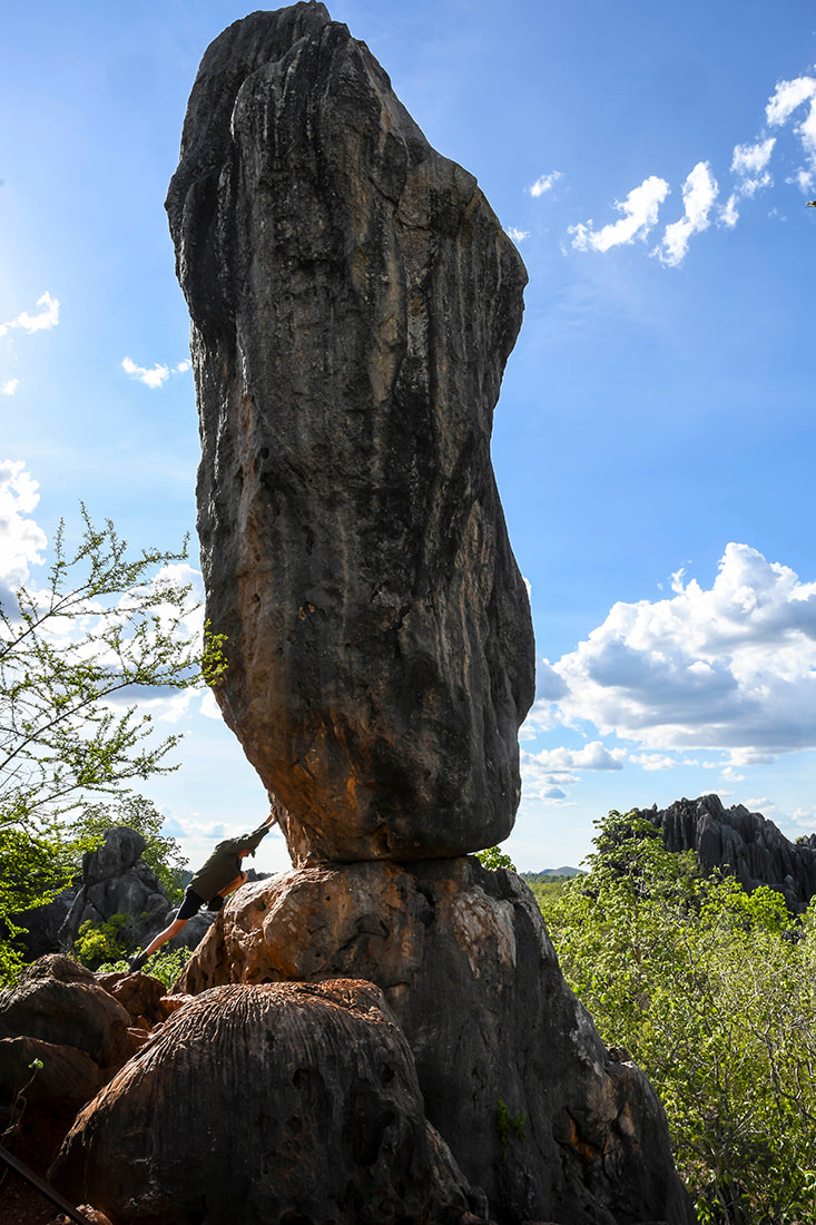
"One of the most important towns in Australian history"
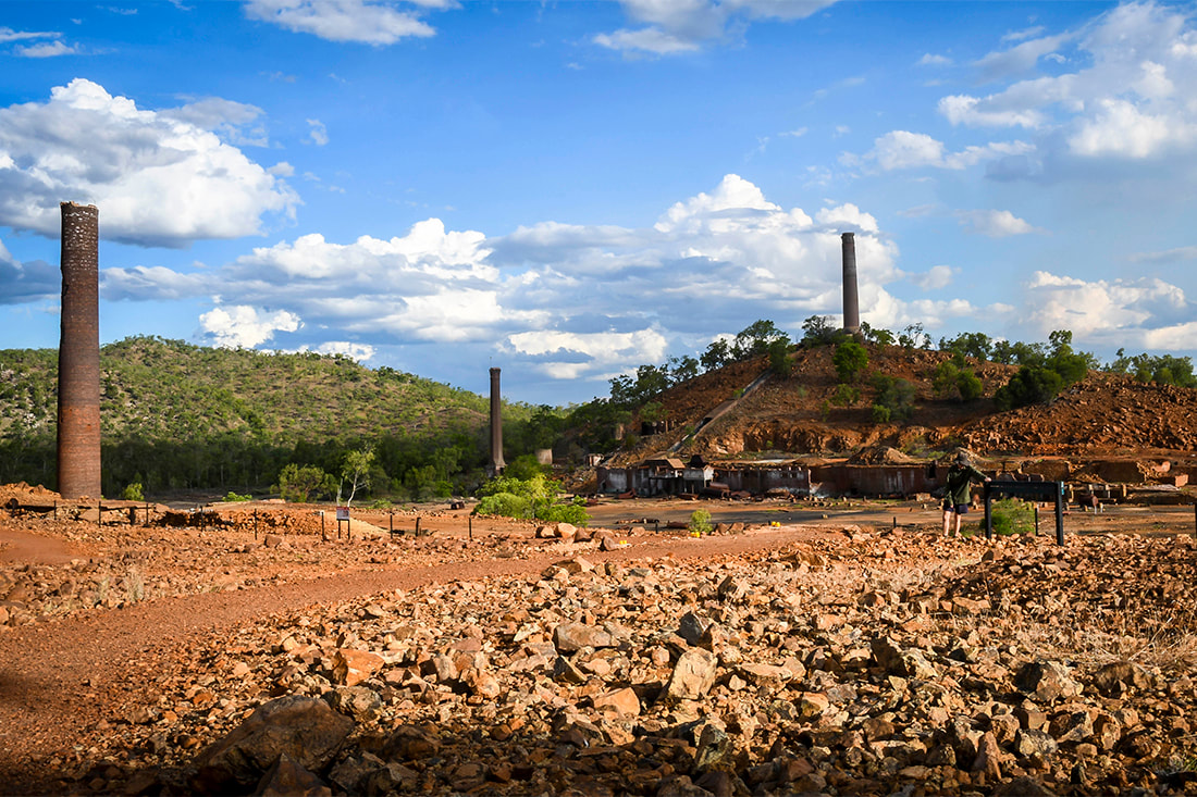
The township of Chillagoe was created in 1900 by the workers who toiled in the copper smelter, the many local mines and supportive industries. Chillagoe went on to become one of the largest metallurgical developments pre-World War 1. A population of thousands inhabited the area and relics from this past era are still visible.
|
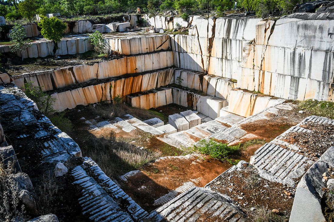
The population now hovers around 200. Some of the families have lived here since the smelter days and others are here to enjoy the quiet sounds of the country and the outback hospitality. Mining still haunts the town with a lime works being established in 1970 and marble mining in 1982. Even now, there are still regular discoveries of fresh ore bodies.
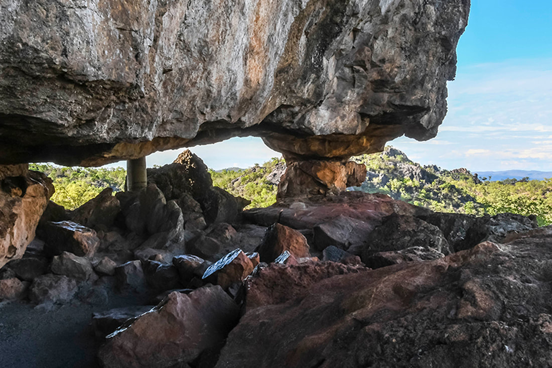
Tourist visitation is highest in the winter months between April and October with temperatures ranging from 14 to 34 degrees Celsius. All throughout the year the region offers interest and excitement, and summer is the green season with spectacular tropical storms, new vegetation growth and wild flowers. The summer storms flush the caves and they again present themselves as fresh and having had no human visitation. Temperatures may reach 39 degrees Celsius but unlike the coast, humidity can be as low as 40%. LocationChillagoe is located 200km or 2.5 hours west of Cairns and includes 20km of formed unsealed road. The section after Dimbulah is unfenced allowing livestock to wander on to the road. Chillagoe Cabins is located first on the right as the township is entered from Cairns.
There are a number of ways to drive to Chillagoe and we have compiled information sheets entering from the east. In some cases a 4WD is required. If you are travelling to Chillagoe from the coast try to time your drive so that you are not travelling into the sun in the late afternoon. |
Latitude -17.155130 Longitude 144.524399

